
Jefferson County Block Records
Public block research begins with sources built for land, elections, permits, and civic participation. Each has a narrow purpose. The Jefferson County Tax Map shows the parcels that touch an address or sit across the road. CAPture supplies each assessment owner and mailing address. Recorded plats show the legal block and lot pattern. A voter-list order can include released residence fields for a requested geography, while Birmingham association pages identify public officers and meetings.
| Source | What It Shows About a Block | Access |
|---|---|---|
| Tax Map and CAPture | Adjoining parcels, assessment owners, situs and mailing fields | Free current portals; office fallback |
| Recorded plats | Subdivision, block, lots, easements and dedications | Landmark or Probate record room |
| Voter list | Selected registration and residence fields by requested geography | SOS quote and purchase; protected categories absent |
| Planning and permit files | Named applicants, owners, parcels, proposals and dated actions | Municipal or county file |
| Neighborhood associations | Public officers, civic area and meeting schedule | Public city links; no promised member roll |
| Directories and census | Past occupants near consecutive house numbers | BPL, NARA or FamilySearch; year limits |
Owners and occupants must remain separate. A parcel card proves who receives the assessment and where tax mail goes. It does not name every adult, child, renter, or current visitor. People may appear differently across sources because the records measure different events and dates.
Map Jefferson County Neighbors
The adjacent-parcel method keeps a neighbor lookup tied to a real block. Start with the official Jefferson County Tax Map or newer Parcel Lookup. Set the scale so both parcel outlines and road names remain clear. Aerial imagery can help distinguish one structure from several tax parcels, but it does not identify people.
- Search the known address and click its polygon. Confirm the property address and parcel ID before moving outward.
- Click each touching parcel, then the parcels directly across the road. Record each parcel ID rather than copying names from the map alone.
- Open the matching CAPture assessment cards. Compare property situs, owner name, owner mailing address, legal description, and any class or exemption.
- Check the plat when a tax polygon does not match the visible use. Lot lines and easements can explain an apparent gap or shared drive.
- Use the Jefferson County street directory only when the task expands from the immediate block to a full named street.
The flow is simple: known address → subject parcel → touching parcels → assessment cards → dated supporting records. A matching mailing and situs address can support owner-occupancy, and a homestead classification can add context. Neither proves who is present today.
Note: Selection and measure tools describe land geometry; they are not a people-radius search and should not be treated as one.
Jefferson County Parcel Owners
The official nightly parcel layer makes its limits unusually clear. Situs fields include building number, street name, apartment, city, state, and ZIP. Owner correspondence appears in separate fields for owner name, second name, mailing address, city, state, and mailing ZIP. Land details add subdivision, plat book and page, acres, and a neighborhood code. No occupant, renter, birth date, phone, email, utility, or voter field appears.
This is the central myth to avoid: a tax parcel identifies an assessment owner, not every person living at the site. The mailing address may match the property, point to another Jefferson County address, or lead out of county. A difference is evidence of nonlocal tax correspondence, not proof that the owner never visits or that another named person occupies the parcel.
- Parcel
- A unit of land tracked for mapping and assessment.
- Situs address
- The physical address assigned to the property.
- Mailing address
- The destination for owner correspondence, which may differ from the situs.
- Plat
- A recorded map showing subdivision lots, blocks, easements, and dedications.
Birmingham Neighborhood Directory
Birmingham’s civic system gives Jefferson County block research a useful public layer without pretending to publish a private roster. The city recognizes 23 communities and 99 neighborhood associations. Owners and renters may take part. Public links identify officers, meeting schedules, and community or neighborhood maps, while the city does not promise a household membership list.
The Community Resource Services division is the source for this official neighborhood directory and its civic contacts.
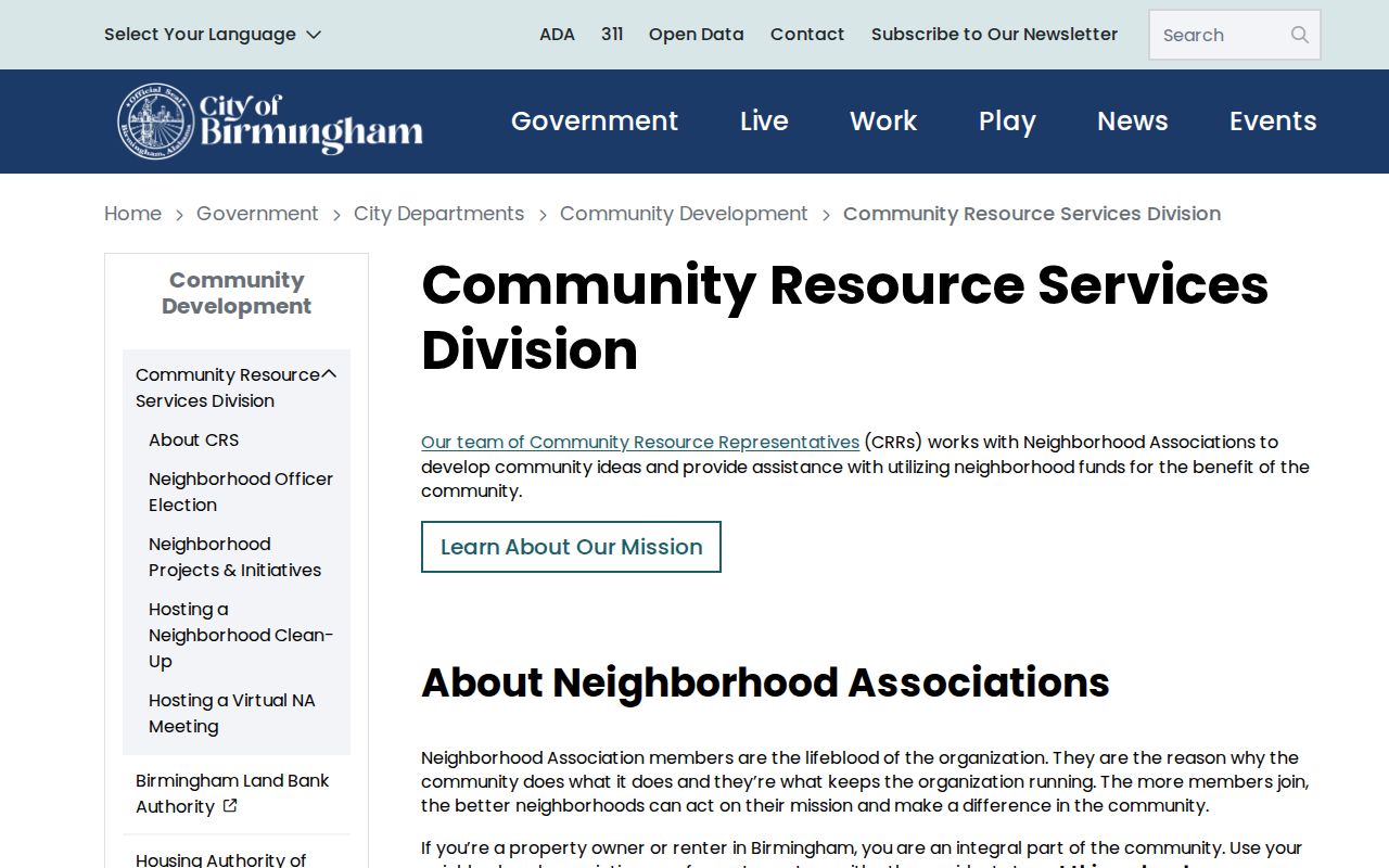
Those city links identify the association serving a Birmingham parcel and a public way to attend or ask about meetings. County parcels outside Birmingham do not gain an association merely because the postal city reads “Birmingham.” Municipal limits must be checked first.
Southside Community
Includes Five Points South, Glen Iris, and Southside. Use public officer and meeting links for civic contact.
Red Mountain Community
Includes Forest Park-South Avondale, Highland Park, and Redmont Park.
Woodlawn Community
Includes East Avondale, Oak Ridge Park, South Woodlawn, and Woodlawn.
Ensley Community
Includes Dolomite, Ensley, Oak Ridge, Sherman Heights, Tuxedo, and Wylam.
Official planning files have documented actions by groups such as Five Points South, Forest Park, and Woodlawn. Those dated votes add block context. They do not disclose every participant or neighbor.
Jefferson County Voter Records
Alabama Votes VoterView cannot browse a block. It requires a first name, last name, and date of birth to confirm one person’s registration. After retrieval, Jefferson County instructs the voter to select the relevant election. A nonmatch may reflect spelling, a move, inactive status, cancellation, or a data-entry difference, so the Board of Registrars is the right fallback.
A separate statewide voter-list request under Ala. Code §17-4-38 can ask for county, city, or district geography and select Active, Inactive, or Both. Available fields may include full name, status, residence and mailing address, registration date, precinct, commission district, municipality, ward, and other district fields. The Secretary of State quotes cost before fulfillment and offers paper, thumb drive, or email, with Excel or tab-delimited electronic formats.
Protected officials, spouses, and domestic-violence voters may be suppressed. Nonvoters are absent. Participation history records which election a person took part in, never a ballot choice. These limits make the list a dated civic roll, not a full block directory.
Note: Alabama has no party registration, and voter participation history never reveals which candidate or measure a person chose.
Jefferson County Block Lookup
Permits, planning notices, and court files can explain public events tied to a block without serving as neighbor lists. A permit may name the site, applicant, contractor, work, fees, and inspection steps. Planning minutes may identify a parcel, proposal, owner, applicant, and association vote. Search the correct custodian because a Jefferson County postal address may fall in Birmingham, another municipality, or an unincorporated area.
The Birmingham Municipal Court handles city misdemeanor and traffic matters, warrants, trials, and citations. It is not the place for Circuit or District civil and felony files, divorce cases, or Probate records.
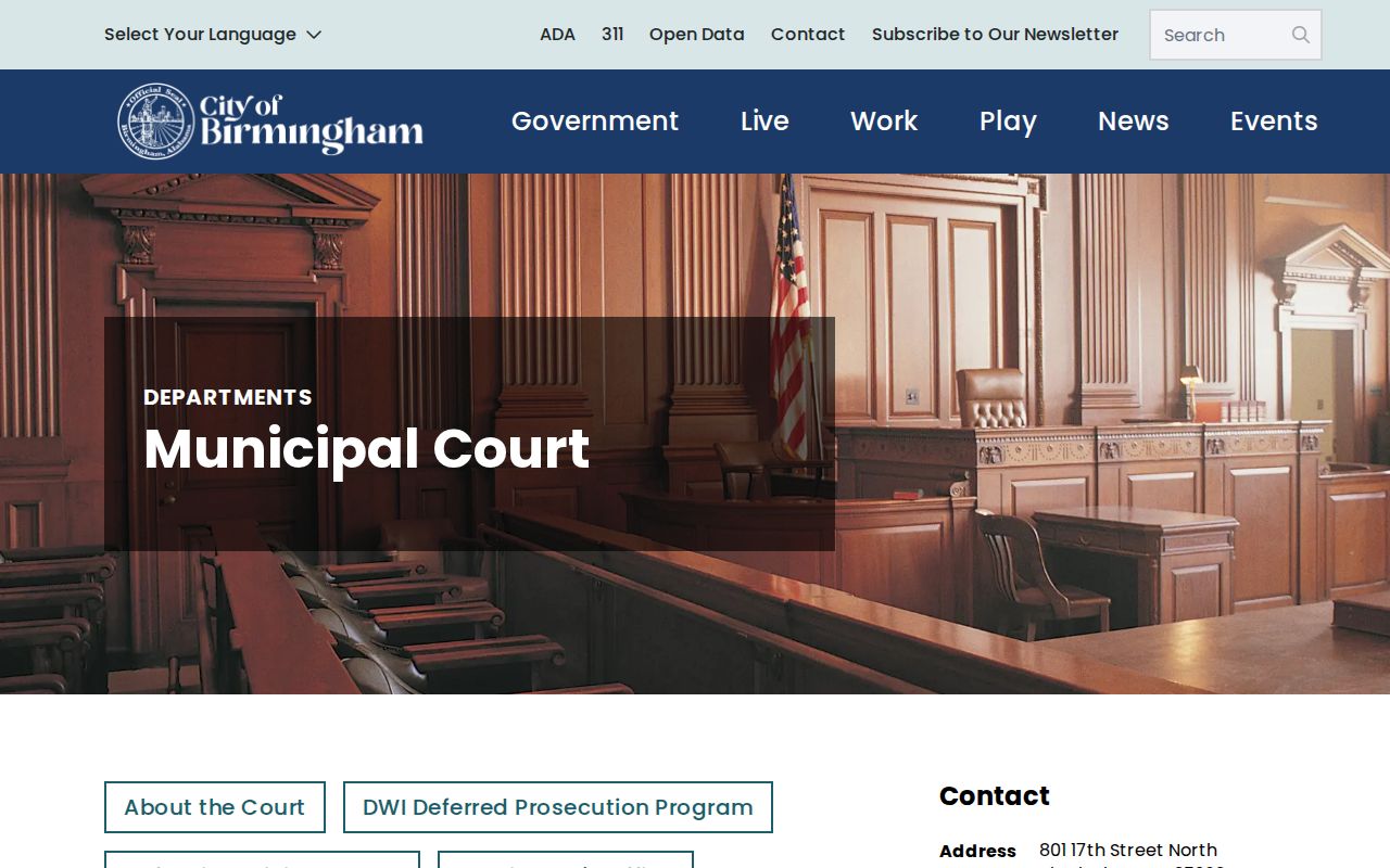
The court source is relevant only when a dated public city matter already points there. A party name in a case should not be turned into a claim about everyone at an address, and restricted matters remain closed.
Businesses can also shape a mixed-use block. The Alabama Secretary of State business entity options describe official routes for checking an entity name, number, officer, agent, or filing.
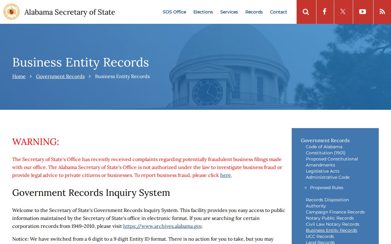
An agent or officer address proves a filing affiliation, not a home address or current presence on the block. Inspect the filing date and image before connecting an entity to a parcel.
Jefferson County Block Evidence
Commercial neighbor tools often merge deeds, marketing files, and old directory entries. The result may look complete while hiding its date and source. Official Jefferson County rolls are narrower, but their parcel IDs, record dates, custodians, and field definitions let a reader test each claim. The safer comparison is transparency versus convenience, not “complete” versus “incomplete.”
| Feature | Official Public Source | Commercial Compilation |
|---|---|---|
| Purpose | Assessment, recording, election, permit, or civic action | Combined people and address display |
| Source date | Often shown or tied to a filing | May be unclear or mixed |
| Property identity | Parcel ID and legal description | Usually normalized street address |
| Occupancy claim | Usually not made | May infer from stale data |
| Correction path | Named custodian and procedure | Provider-specific opt-out or dispute |
Use the official record closest to the question. A tax card answers ownership, a plat answers lot layout, a permit answers a dated project, and a public association page answers civic organization. None should be stretched into a private household claim.
Past Jefferson County Neighbors
Current parcel tools are only one time slice. Birmingham Public Library’s Southern History Department keeps city directories, reverse-address volumes, census resources, maps, newspapers, family files, and cemetery material. A reverse or criss-cross directory can line up old household names by street and house number. Named federal census schedules through 1950 add household relationships, age, and birthplace under the 72-year release rule.
Address continuity needs care. Jefferson County took over postal addressing in 1978, and all county addresses had street numbers by 1994 after rural route conversion. Annexation, renamed roads, direction changes, and the Birmingham/Bessemer split may also shift the label. Pair an old directory with a plat, parcel legal description, and a dated map rather than silently replacing the historic address.
BPL’s archive collections also document communities such as Ensley, Wylam, Woodlawn, North Birmingham, West End, and Brookside through photos, oral histories, churches, families, schools, and businesses. These sources explain a block across time without being mistaken for today’s occupants.
Note: A directory entry dates one published snapshot; it should not be carried forward as proof of a later household.
Jefferson County Lookup Privacy
Some gaps are required, not errors. Alabama has no verified statewide substitute-address program, but it suppresses voter-list details for covered officials, spouses, and domestic-violence voters. Shelter and client records receive separate protection. Motor-vehicle personal information is generally closed under the federal Driver’s Privacy Protection Act, and utility or delivery records are not public reverse directories.
Recorded images may contain old signatures, account numbers, full birth dates, or identity-document numbers. Do not republish them. Public access under the Alabama Open Records Act also does not override record-specific closures, and a custodian may require reasonable proof of Alabama residence for a request.
Lawful use. Jefferson County neighbor records may support civic contact, family research, property curiosity, and personal safety. Never use them to threaten, track, harass, impersonate, or intimidate anyone.
Alabama stalking and harassing-communications laws include Ala. Code §§13A-6-90 through -92 and §13A-11-8. If a source withholds a protected address, leave the gap intact. A careful search knows when to stop.